

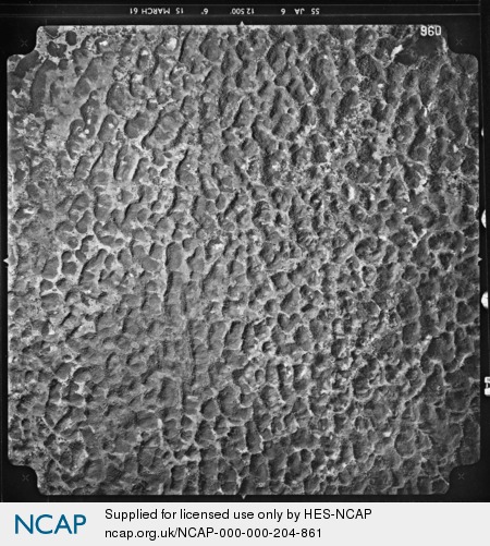
Cedar Valley; Saint Ann; Jamaica
Frame details
Date: 15 March 1961
Location: Cedar Valley; Saint Ann; Jamaica
Coordinates (lat, lon): 18.275604, -77.268666
Description: This aerial photograph was digitised for the - Creating a Vision of the Commonwealth - Project.
Location: Cedar Valley; Saint Ann; Jamaica
Coordinates (lat, lon): 18.275604, -77.268666
Description: This aerial photograph was digitised for the - Creating a Vision of the Commonwealth - Project.
Image type: Vertical
Scale: 25000
Scale: 25000