

Haut-Maînil; Nord-Pas-de-Calais; France
Frame details
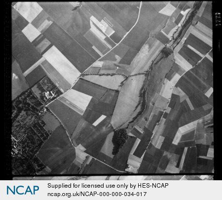
Date: 28 June 1944
Location: Haut-Maînil; Nord-Pas-de-Calais; France
Coordinates (lat, lon): 50.304725, 2.132218
Description: This aerial photograph was digitised for the BBC documentary Operation Crossbow.
Location: Haut-Maînil; Nord-Pas-de-Calais; France
Coordinates (lat, lon): 50.304725, 2.132218
Description: This aerial photograph was digitised for the BBC documentary Operation Crossbow.
Image type: Vertical
Scale: 9500
Scale: 9500