

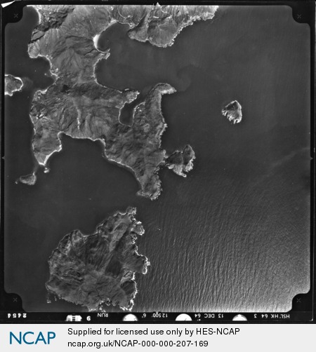
Fat Tong Point; Hong Kong; Hong Kong S.A.R.
Frame details
Date: 13 December 1964
Location: Fat Tong Point; Hong Kong; Hong Kong S.A.R.
Coordinates (lat, lon): 22.267158, 114.299753
Description: This aerial photograph was digitised for the - Creating a Vision of the Commonwealth - Project.
Location: Fat Tong Point; Hong Kong; Hong Kong S.A.R.
Coordinates (lat, lon): 22.267158, 114.299753
Description: This aerial photograph was digitised for the - Creating a Vision of the Commonwealth - Project.
Image type: Vertical
Scale: 25000
Scale: 25000