Images of the Commonwealth released
Over 3,500 historical aerial images from the Directorate of Overseas Surveys (DOS) Collection have been uploaded to the website. The images provide a sample of the collection, digitised in support of research for Sightlines, a new short film which focuses on the use of historical aerial imagery in Kenya today.
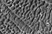
Images and finding aids for locations in Hong Kong, Jamaica, Kenya, Nigeria and Tanzania are now available to view. The images illustrate the varied terrain, agricultural practices and resources of each territory, aspects of which were recorded by DOS surveyors during their work. In this batch of images, wide swathes of Kenya can be seen before the later expansion of intensive plantation agriculture, contrasting geological landscapes are visible in images of the volcanic Great Rift Valley in Kenya and the karst limestone terrain of central Jamaica, while the pressure of human activities on the natural environment can be appreciated in images of Hong Kong.


