

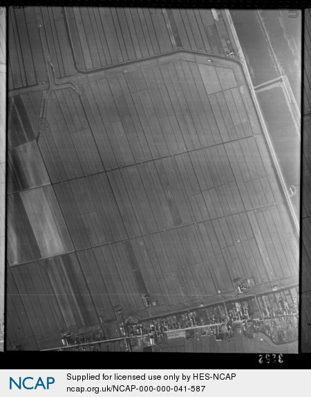
Hazerswoude-Dorp; South Holland; The Netherlands
Frame details
Date: 26 February 1945
Location: Hazerswoude-Dorp; South Holland; The Netherlands
Coordinates (lat, lon): 52.104341, 4.579702
Description: This aerial photograph was digitised for the BBC documentary Operation Crossbow.
Location: Hazerswoude-Dorp; South Holland; The Netherlands
Coordinates (lat, lon): 52.104341, 4.579702
Description: This aerial photograph was digitised for the BBC documentary Operation Crossbow.
Image type: Vertical
Scale: 9500
Scale: 9500