

NCAP Features
Thames Path National TrailColour aerial photography of the Thames Path National Trail. |
 |
NATO Exercise CARTE BLANCHELow-level aerial photography from a NATO exercise. |
 |
OS PhotomapsMap-accurate mosaics of Scotland. |
 |
Reconnaissance AircraftAerial image collectors. |
 |
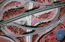
Vertical and Oblique Aerial PhotographyAn explanation of vertical and oblique aerial photography. |
 |
Scale in Aerial PhotographyAn explanation of scale in aerial photography. |
 |
Historic Military EventsAerial photography of some key historical events. |
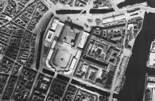 |
Interpreting an Aerial PhotographInterpreting features in aerial photography. |
 |
Film TypesPanchromatic, colour and infra-red. |
 |
Record MovementLearn how NCAP tracks, moves and stores over 26 million records. |
 |
NCAP @ RAF100 COSFORD AIR SHOWIn 2018, NCAP partnered with the Defence School of Photography at the RAF100 Cosford Air Show. |
 |
Finding Aid Digitisation Programme 2018See the global aerial photographic coverage unlocked by our digitised finding aids. |
 |
Finding Aid Digitisation Programme 2017See the global aerial photographic coverage unlocked by our digitised finding aids. |
 |
Finding Aid Digitisation Programme 2016See the global aerial photographic coverage unlocked by our digitised finding aids. |
 |
Finding Aid Digitisation Programme 2015See the global aerial photographic coverage unlocked by our digitised finding aids. |
 |
Finding Aid Digitisation Programme 2014See the global coverage unlocked by our digitised finding aids. |
 |