

NCAP Features
US Navy Aerial PhotographyAerial photographs of Scotland and North-West England from the 1960's. |
 |
M-SectionAerial photographs of Scotland during the Second World War. |
 |
GeographyUsing aerial photography in Scottish schools. |
 |
Operation GOODWOODThe British armoured breakout from Normandy. |
 |
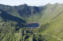
Geology of ScotlandAerial photography of geological features. |
 |
The Destruction of FreiburgAerial photographs a bomb-damaged German city. |
 |
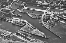
Mulberry AAerial photography of storm-damaged artificial harbour. |
 |
Anaglyphs3D aerial images. |
 |
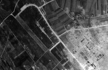
South German AirfieldsSouth African aerial reconnaissance of German jet airfields. |
 |
Finding German WarshipsAerial reconnaissance of German warships in Norwegian fjords. |
 |
Transport PlanAmiens rail junction devastated by D-Day bombing. |
 |
Operation REVUEPost-war aerial survey. |
 |
Preparation for FlightCamera clearing shots. |
 |
Layers of coverMulti-temporal aerial cover of Scottish locations. |
 |
Supporting Operation TORCHMonitoring warships in Barcelona and Toulon. |
 |
Strike WingsAnti-shipping operations over Norway. |
 |
Targets in ThailandAerial photography of Bangkok and the Kwai bridge. |
 |
Erased LandscapesEU project reveals lost landscapes in Poland. |
|
The Cotswold WayColour aerial photography of the Cotswold Way National Trail |
 |
The South Downs WayColour aerial photography of the South Downs Way National Trail. |
 |